🇻🇳 Vietnam
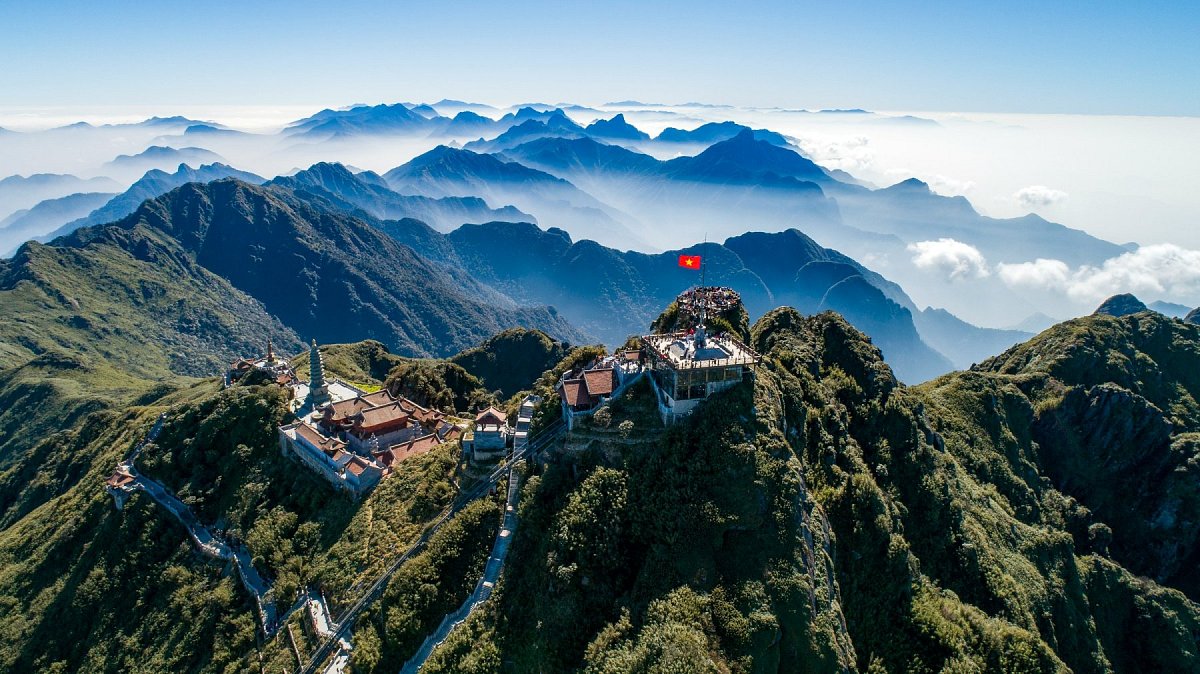
Vietnam stretches in a narrow arc for more than 1,600 kilometres from the Chinese border to the Mekong Delta. Its highest mountains lie in the north-west, in the Hoàng Liên Sơn range: Fansipan (Phan Xi Păng, 3,147 m) is the highest mountain in Indochina, reached by cable car from Sa Pa or on a two-day trek through Hoàng Liên National Park. Around it rise more three-thousanders – Pu Si Lung, Pu Ta Leng and Ky Quan San – and the hikers' favourites Lảo Thẩn and Tà Xùa above a sea of clouds. The north and centre of the country belong to limestone karst: the Đồng Văn plateau, Hạ Long Bay with almost two thousand rocky islands, and Phong Nha-Kẻ Bàng National Park. Along the border with Laos runs the Trường Sơn range with Ngọc Linh (2,605 m), and further south the Central Highlands with extinct volcanoes, Chư Yang Sin and Langbiang above Đà Lạt. In the south, Núi Bà Đen (986 m), a pilgrimage mountain known as the roof of the South, rises from the plain. Foreigners need a police permit in border areas, and many national parks may only be entered with a guide.
 10 952
 34

–
Data sources
The mountain database for this country is built from these sources.
-
© OpenStreetMap contributors
OpenStreetMap, OpenStreetMap contributors · Open Database License (ODbL) 1.0 -
Nguồn: congbao.chinhphu.vn
Danh mục địa danh dân cư, sơn văn, thủy văn, kinh tế - xã hội phục vụ công tác thành lập bản đồ, Bộ Tài nguyên và Môi trường (Ministry of Natural Resources and Environment), 62 circulars 2013-2022 · Not protected by copyright (Law on Intellectual Property of Viet Nam, Art. 15) -
Japan Aerospace Exploration Agency (JAXA)
ALOS World 3D 30 m (AW3D30) · JAXA AW3D30 terms of use