🇹🇭 Thailand
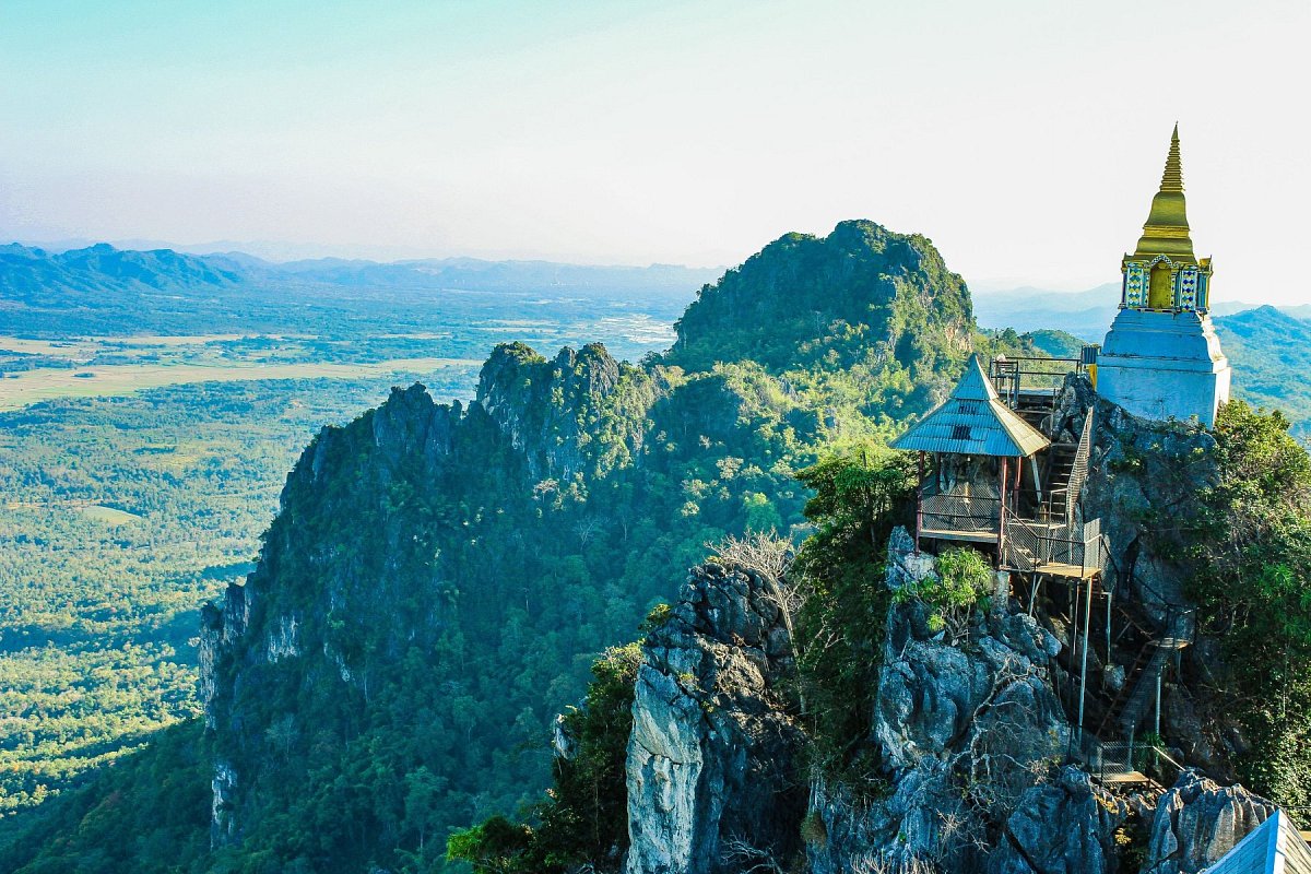
Thailand stretches from the mountains of the north, along the borders with Myanmar and Laos, across the lowlands around Bangkok to the narrow Malay Peninsula in the south. Mountains are named by region: doi in the north, phu in the northeast (Isan), khao in the centre and the south. The highest is Doi Inthanon (2,565 m) near Chiang Mai, with a road to the top; nearby rise Doi Pha Hom Pok (2,285 m) and the limestone massif of Doi Luang Chiang Dao. In Isan, the flat-topped Phu Kradueng with its plateau and Phu Chi Fa, looking over a sea of clouds into Laos, draw hikers. In the centre lies Khao Yai, part of a UNESCO World Heritage Site; in the south Khao Luang, the highest mountain of the peninsula, and the limestone towers of Phang Nga Bay and Khao Sok, rising straight out of the sea and the rainforest. Most mountains lie in national parks and sanctuaries: some trails close in the rainy season, others may only be walked with a guide, and wildlife sanctuaries need a permit.
 11 233
 77


Data sources
The mountain database for this country is built from these sources.
-
© OpenStreetMap contributors
OpenStreetMap, OpenStreetMap contributors · Open Database License (ODbL) 1.0 -
GeoNames (geonames.org), CC BY 4.0
GeoNames (NGA GNS names of Thailand), GeoNames.org, from the US National Geospatial-Intelligence Agency's GEOnet Names Server · Creative Commons Attribution 4.0 (CC BY 4.0) -
Japan Aerospace Exploration Agency (JAXA)
ALOS World 3D 30 m (AW3D30) · JAXA AW3D30 terms of use