🇸🇰 Slovakia
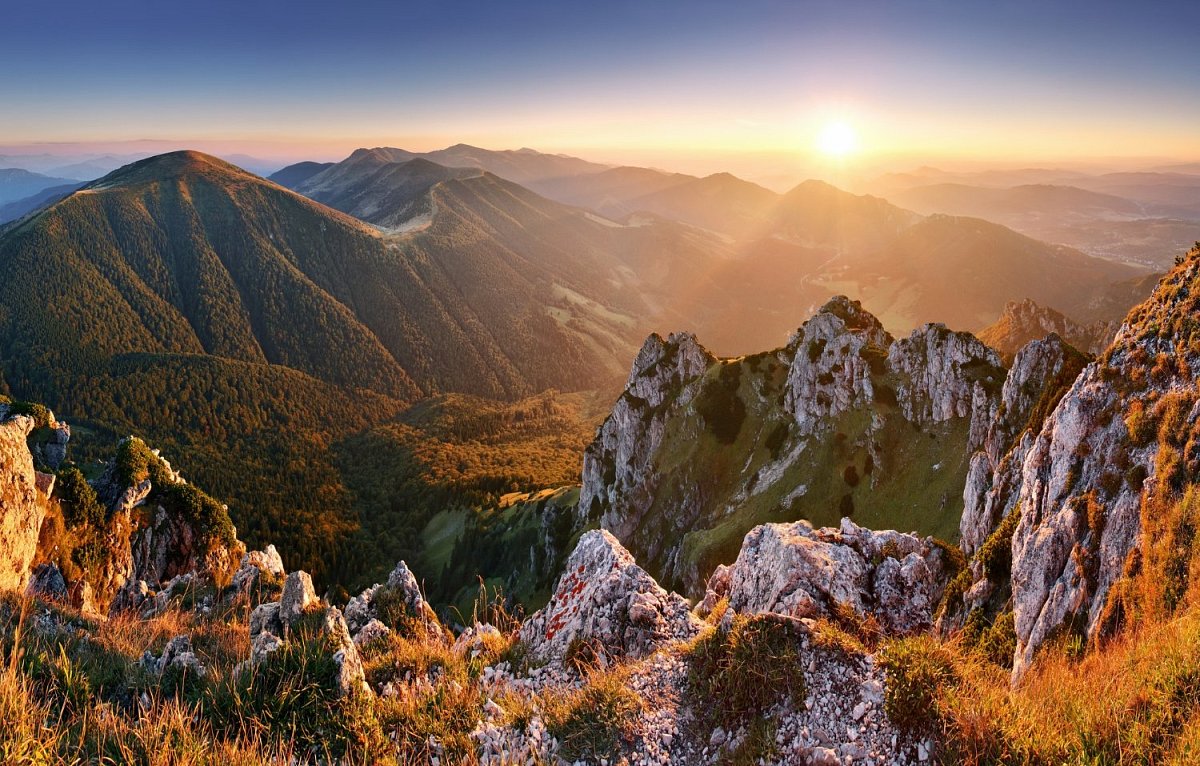
Slovakia boasts a diverse landscape of towering mountains, rolling hills, and lush forests. The country's highest peak, Gerlachovský štít in the High Tatras, rises to 2,655 meters, offering stunning alpine views. The terrain includes the scenic Slovak Paradise National Park, the fertile valleys of the Danube and Váh rivers, and the serene lakes of the Low Tatras. This varied geography provides ideal conditions for activities such as hiking, skiing, and exploring picturesque villages amidst breathtaking natural surroundings.
Mountain count
 8 599
8 599
8 599
Area count
 84
84
84
Geoportal / Verification source
https://zbgis.skgeodesy.sk/mkzbgis/sk/rgb
https://zbgis.skgeodesy.sk/mkzbgis/sk/rgb
Area list and more info is only available in the premium version.
Data sources
The mountain database for this country is built from these sources.
-
© OpenStreetMap contributors
OpenStreetMap, OpenStreetMap contributors · Open Database License (ODbL) 1.0 -
© GKÚ Bratislava, ÚGKK SR
Geografické názvy ZBGIS (INSPIRE HVD – Geografické názvy), Úrad geodézie, kartografie a katastra SR (ÚGKK SR), GKÚ Bratislava · Creative Commons Attribution 4.0 (CC BY 4.0)