🇸🇬 Singapore
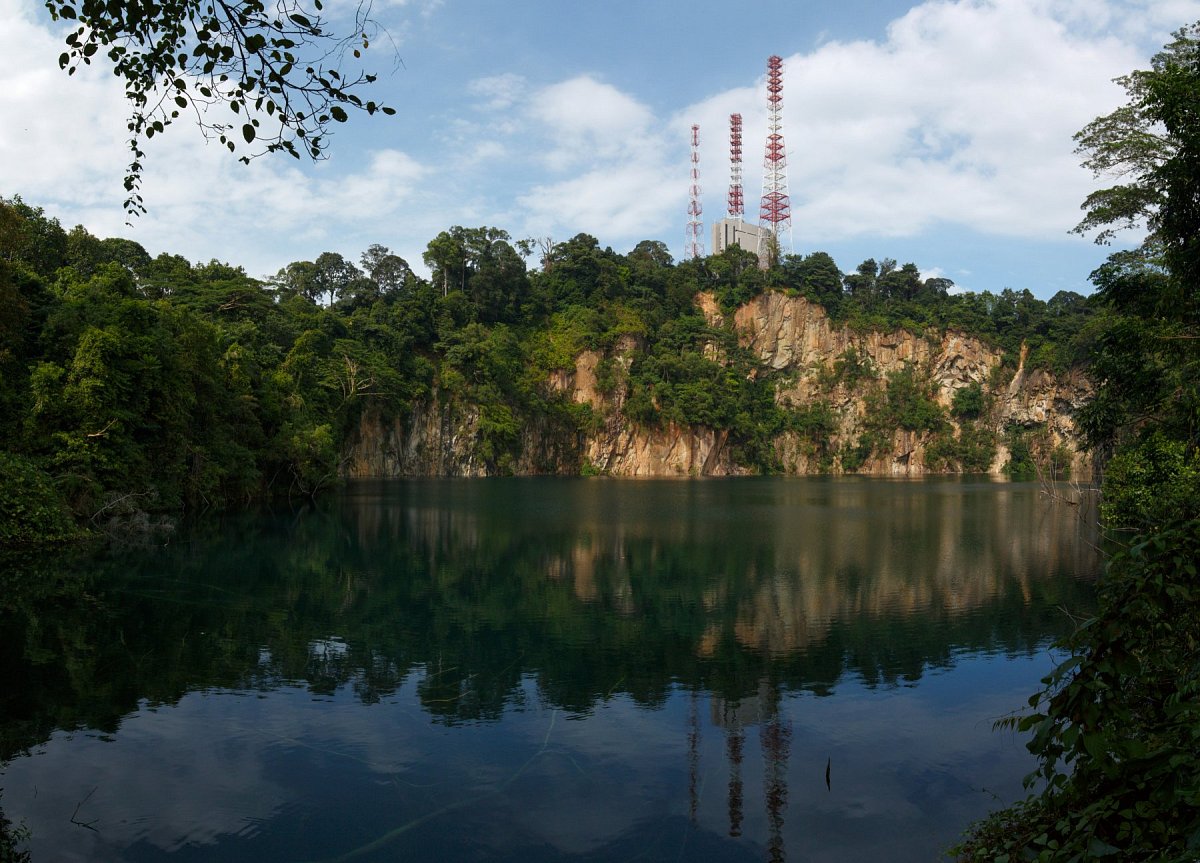
Singapore is a city-state on an island at the southern tip of the Malay Peninsula, and most of it lies only a few metres above the sea. Its hills are low but green: the highest point, Bukit Timah Hill (164 m), rises in a nature reserve that protects one of the country's last patches of primary rainforest, and next to it the TreeTop Walk in the Central Catchment Nature Reserve hangs between Bukit Kalang and Bukit Peirce. In the south, the Southern Ridges link Mount Faber, Telok Blangah Hill and Kent Ridge across the Henderson Waves bridge, while Fort Canning Hill and Pearl's Hill rise among the skyscrapers of the city centre. On Pulau Ubin, Bukit Puaka looks out over a flooded granite quarry. Many of the old hills were levelled for land reclamation, and several in the west and on the outlying islands lie in military areas closed to the public.
 64
 5


Data sources
The mountain database for this country is built from these sources.
-
© OpenStreetMap contributors
OpenStreetMap, OpenStreetMap contributors · Open Database License (ODbL) 1.0 -
US National Geospatial-Intelligence Agency (NGA)
GEOnet Names Server (GNS) · Public domain (US Government work) -
Contains information from National Map Line accessed on 19 October 2026 from data.gov.sg which is made available under the terms of the Singapore Open Data Licence version 1.0
National Map Line (Contour_250K), Singapore Land Authority (SLA) · Singapore Open Data Licence v1.0 -
Japan Aerospace Exploration Agency (JAXA)
ALOS World 3D 30 m (AW3D30) · JAXA AW3D30 terms of use