🇲🇺 Mauritius
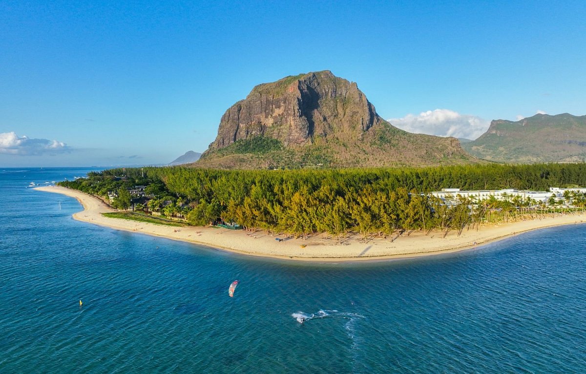
Mauritius is a volcanic island in the Indian Ocean east of Madagascar, where a ring of mountains rises around a central plateau above lagoons and sugar-cane fields. The highest mountain is Piton de la Petite Rivière Noire (828 m) in Black River Gorges National Park, with deep valleys, waterfalls and remnants of native forest. Pieter Both (820 m) carries a huge boulder that seems to balance above the drop, Le Pouce (812 m) looks out over the capital, Port Louis, and Le Morne Brabant (556 m) in the south-west of the island is a UNESCO World Heritage Site. The country also includes the island of Rodrigues, with Mont Limon (398 m), and the remote islands of Agaléga and Saint Brandon.
 140
140
 12
12
Data sources
The mountain database for this country is built from these sources.
-
© OpenStreetMap contributors
OpenStreetMap, OpenStreetMap contributors · Open Database License (ODbL) 1.0 -
US National Geospatial-Intelligence Agency (NGA)
GEOnet Names Server (GNS) · Public domain (US Government work) -
Japan Aerospace Exploration Agency (JAXA)
ALOS World 3D 30 m (AW3D30) · JAXA AW3D30 terms of use