🇬🇷 Greece
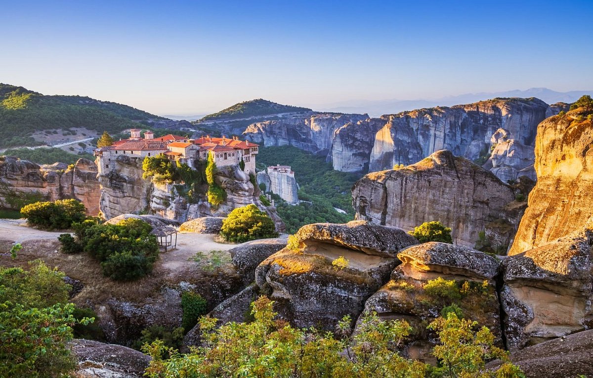
Greece's terrain is marked by rugged mountains, rolling hills, and extensive coastlines. Mount Olympus, the mythic home of the gods, is the highest peak at 2,917 meters, surrounded by rich forests and dramatic gorges. The country also features thousands of islands, each with its own unique landscapes ranging from arid plains to lush greenery. The varied mainland and island geographies are a haven for outdoor activities like hiking, sailing, and exploring secluded beaches and ancient ruins nestled in scenic settings.
Mountain count
 21 568
Area count
 75
75

Geoportal / Verification source
–
–
Area list and more info is only available in the premium version.
Data sources
The mountain database for this country is built from these sources.
-
© OpenStreetMap contributors
OpenStreetMap, OpenStreetMap contributors · Open Database License (ODbL) 1.0 -
Εθνικό Γεωγραφικό Λεξικό © Γεωγραφική Υπηρεσία Στρατού, via Ελληνικό Κτηματολόγιο / data.gov.gr, CC BY 4.0
Εθνικό Γεωγραφικό Λεξικό (ΓΥΣ) - Στοιχεία τοπωνυμίων, Γεωγραφική Υπηρεσία Στρατού (HMGS), via Ελληνικό Κτηματολόγιο · Creative Commons Attribution 4.0 (CC BY 4.0) -
produced using Copernicus WorldDEM-30 © DLR e.V. 2010-2014 and © Airbus Defence and Space GmbH 2014-2018 provided under COPERNICUS by the European Union and ESA; all rights reserved. The organisations in charge of the Copernicus programme by law or by delegation do not incur any liability for any use of the Copernicus WorldDEM-30.
Copernicus DEM GLO-30, European Space Agency (ESA), Copernicus programme of the European Union · Licence for the use of the Copernicus WorldDEM-30 -
Ονόματα τριγωνομετρικών σταθμών © Γεωγραφική Υπηρεσία Στρατού
Τριγωνομετρικά σημεία Ελλάδας (station names), Γεωγραφική Υπηρεσία Στρατού (HMGS)