🇰🇲 Comoros
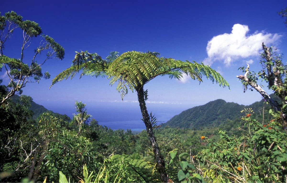
The Comoros are a volcanic archipelago at the northern entrance to the Mozambique Channel, between the African coast and Madagascar. They consist of three islands – Grande Comore (Ngazidja), Anjouan (Ndzuani) and Mohéli (Mwali). Above Grande Comore rises Mont Karthala (2,361 m), one of the most active volcanoes in the Indian Ocean, with a vast caldera reached by a full-day hike through rainforest and heathland. The north of the island is taken up by the older volcanic massif of La Grille. Anjouan is steep and rugged, with Ntringui (1,595 m) as its highest mountain, waterfalls and the mountain lake of Dzialandzé. The smallest island, Mohéli, is green and quiet, with a marine national park.
 217
217
 3
3
–
Data sources
The mountain database for this country is built from these sources.
-
© OpenStreetMap contributors
OpenStreetMap, OpenStreetMap contributors · Open Database License (ODbL) 1.0 -
US National Geospatial-Intelligence Agency (NGA)
GEOnet Names Server (GNS) · Public domain (US Government work) -
Japan Aerospace Exploration Agency (JAXA)
ALOS World 3D 30 m (AW3D30) · JAXA AW3D30 terms of use